




News
By Raveena John, July 13, 2026
Community Connectors brings city staff and community organizations together to repair divisive infrastructure through quick-build demonstration projects. These case studies share the experiences of participants in the 2025-2026 program, highlighting the historical background, local challenges, and community partnerships that shaped their project development and implementation.
Read about the Northeast Towson Improvement Association of Historic East Towson’s Community Connectors project along Towsontown Boulevard and Fairmount Avenue in Baltimore County, MD. Applications for our next cohort close Friday, July 17, at 11:59 p.m. ET.
Historic East Towson is a small community with deep roots dating back to the 1850s, when it was established by formerly enslaved people who were freed from the nearby Hampton Plantation. Since then, generations of descendants have grown up in this close-knit community. Today, about 70 families live within the six blocks that make up the historic neighborhood core.
Despite this history, the current neighborhood has only a small footprint because infrastructure and development have chipped away at its borders and cut through its center. That divisive infrastructure includes a rail line built through the neighborhood in the 1880s as part of the Maryland Central Railroad, which later became the “Ma and Pa Railroad” along what is now Towsontown Boulevard. Another example is the large power substation built in the neighborhood in 1968 to power the Baltimore County government office, which demolished seven homes and a baseball field used by the Negro League. Not long after that, Towsontown Boulevard was built, routing fast-moving traffic through the neighborhood where homes used to be so drivers could conveniently bypass traffic in downtown Towson.
Telling the history with a trail
To make the history between Hampton National Historic Site and Historic East Towson tangible, the Northeast Towson Improvement Association (NeTIA) began developing a multi-use Road to Freedom Trail that connects to other historic landmarks. The task force behind the trail started meeting in 2024, aiming to use the project to advance healing and community reconciliation, expand public understanding of the place’s history, and boost economic development.
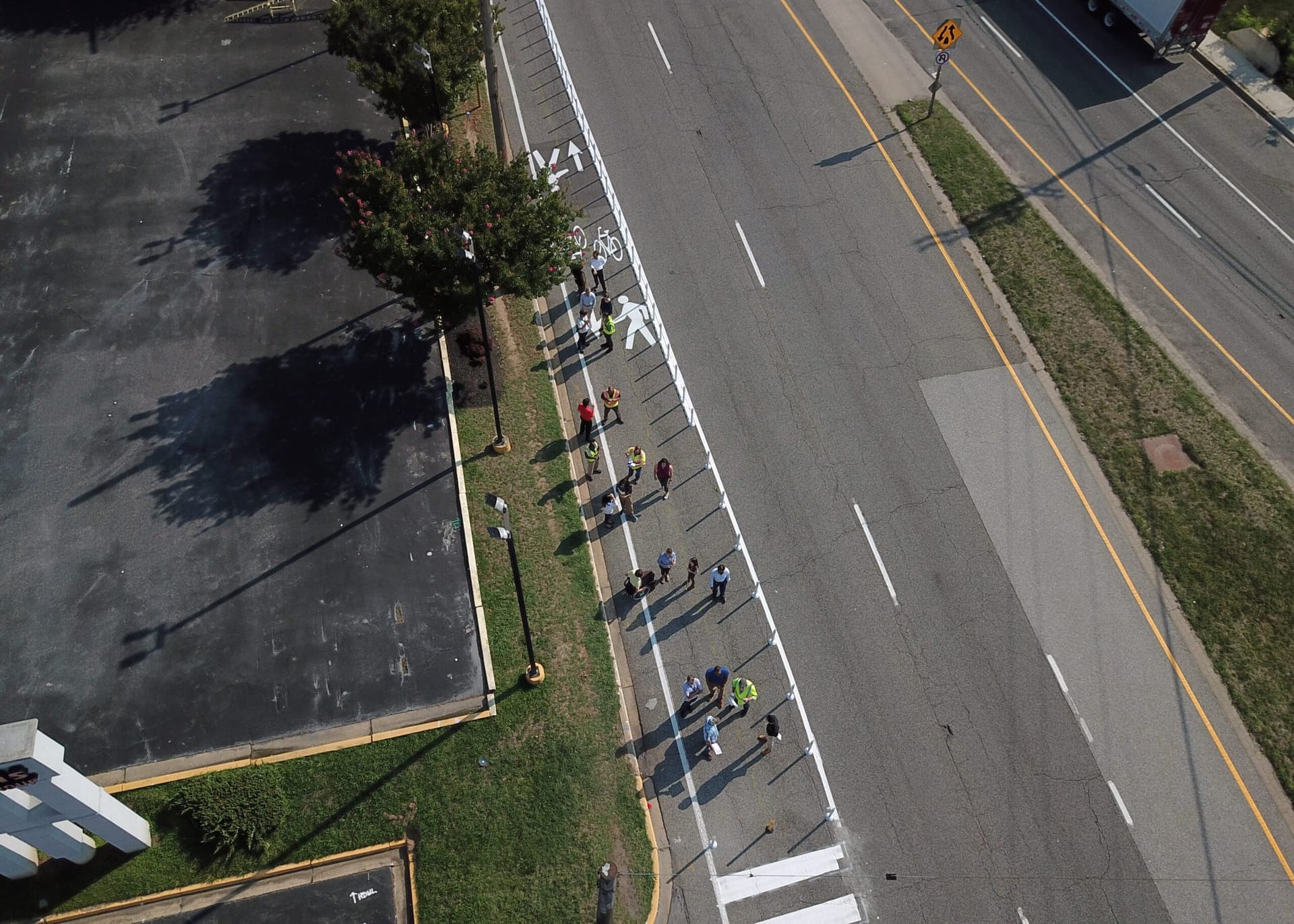
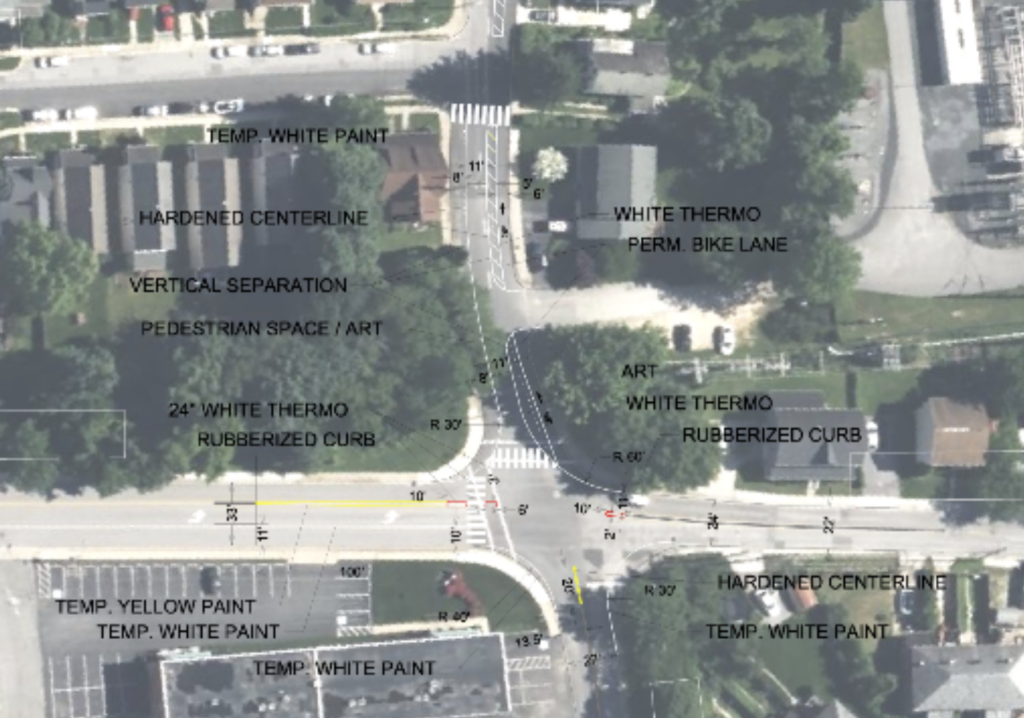
This existing partnership was the starting point for the team’s participation in Community Connectors. Through the program, the Historic East Towson team created a quick-build demonstration project to test improvements for pedestrian safety and comfort at a key intersection along the proposed trail. Guided by their mission to “mend wounds from past decisions and make Historic East Towson a safer, more connected, and more welcoming place today,” the task force brought additional colleagues and community partners on the project team.
The team:
Baltimore County Department of Planning, Department of Public Works and Transportation, and Office of Community Engagement
Northeast Towson Improvement Association of Historic East Towson
Historic East Towson residents
Goucher College, Hallowed Ground Project
Road to Freedom Trail Task Force
Learn more about the team co-leads: Nancy Goldring and Megan Oliver
Working together
NeTIA brought strong community ties to the project and Baltimore County used this opportunity to both reinforce relationships with the neighborhood and to work across departments. The Department of Planning and NeTIA already collaborate through the Road to Freedom task force, so this project deepened the personal relationships between them. Within the county, the Departments of Planning and of Public Works and Transportation worked together more closely than usual due to the fast timeline, innovative design, and new materials.
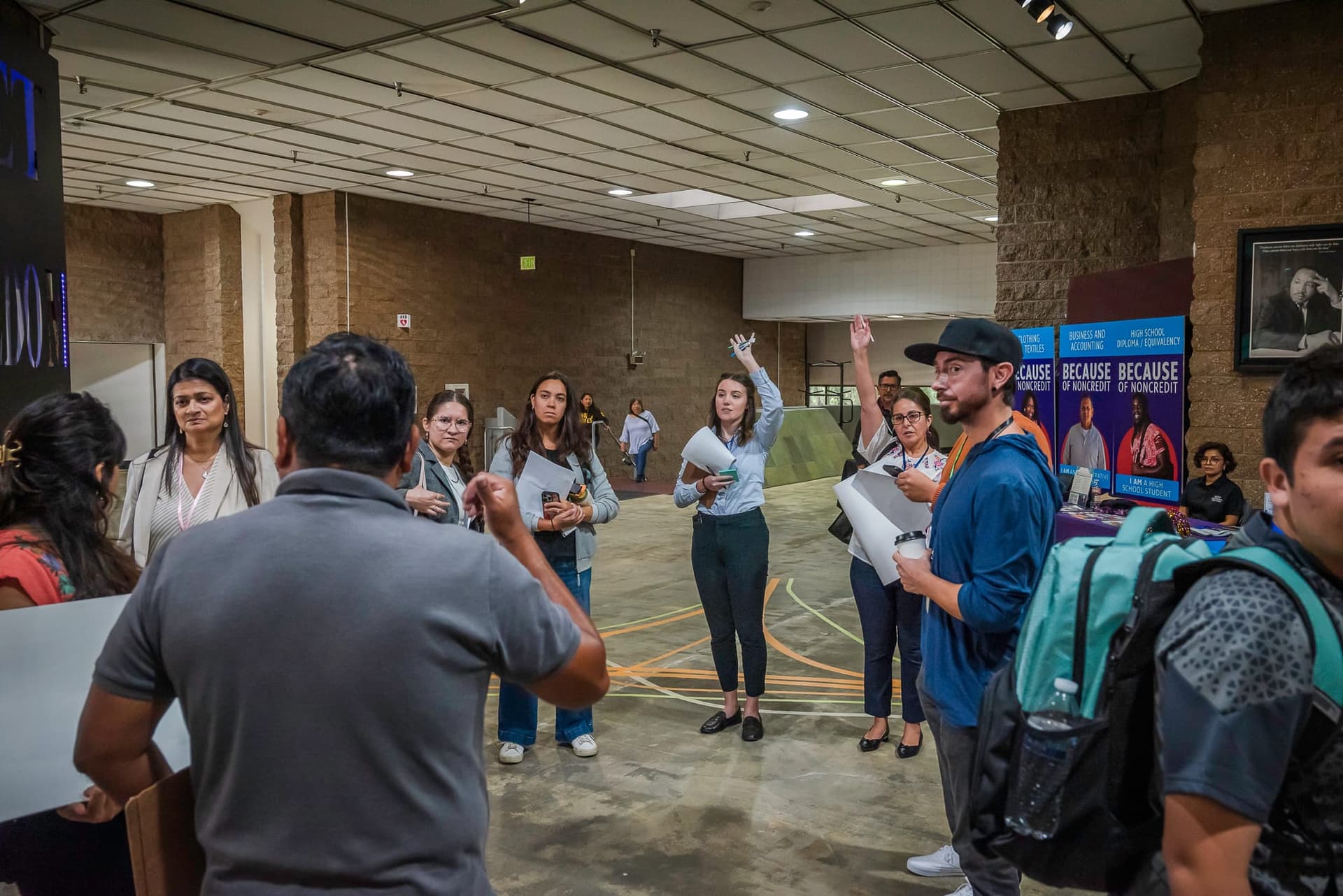
Community engagement in the planning phase helped shape the project design. The team organized community meetings, attended the NeTIA holiday party, knocked on doors, and held dedicated office hours for project design activities in East Towson’s Carver Community Center. The community co-design tools included interactive paper cut-outs used to model different road configuration options, coloring sheets that were distributed to a local daycare for asphalt art inspiration, and surveys where the community could express their concerns and priorities for this intersection.
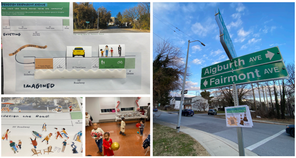
Paper and digital surveys captured the local perception of the intersection and the same questions will continue to be used for the duration of the project to track how perception changes in post-installation surveys. The team conducted four walk audits in fall 2025 to observe the site conditions and people’s behavior and used traffic patterns carved in the snow to make the case for their design. The County measured baseline conditions of turning movements, daily traffic, level of service, and bike level of stress.
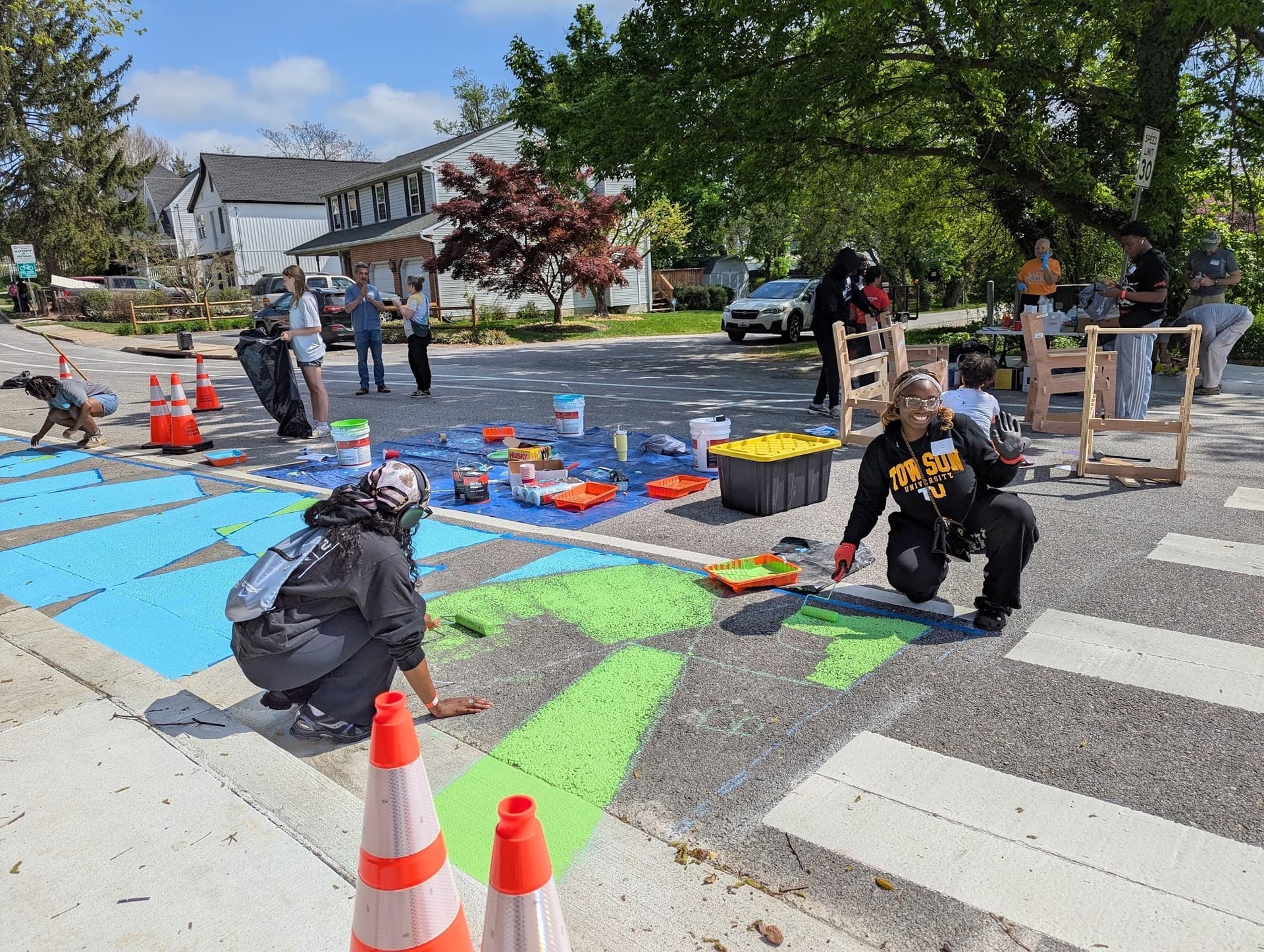
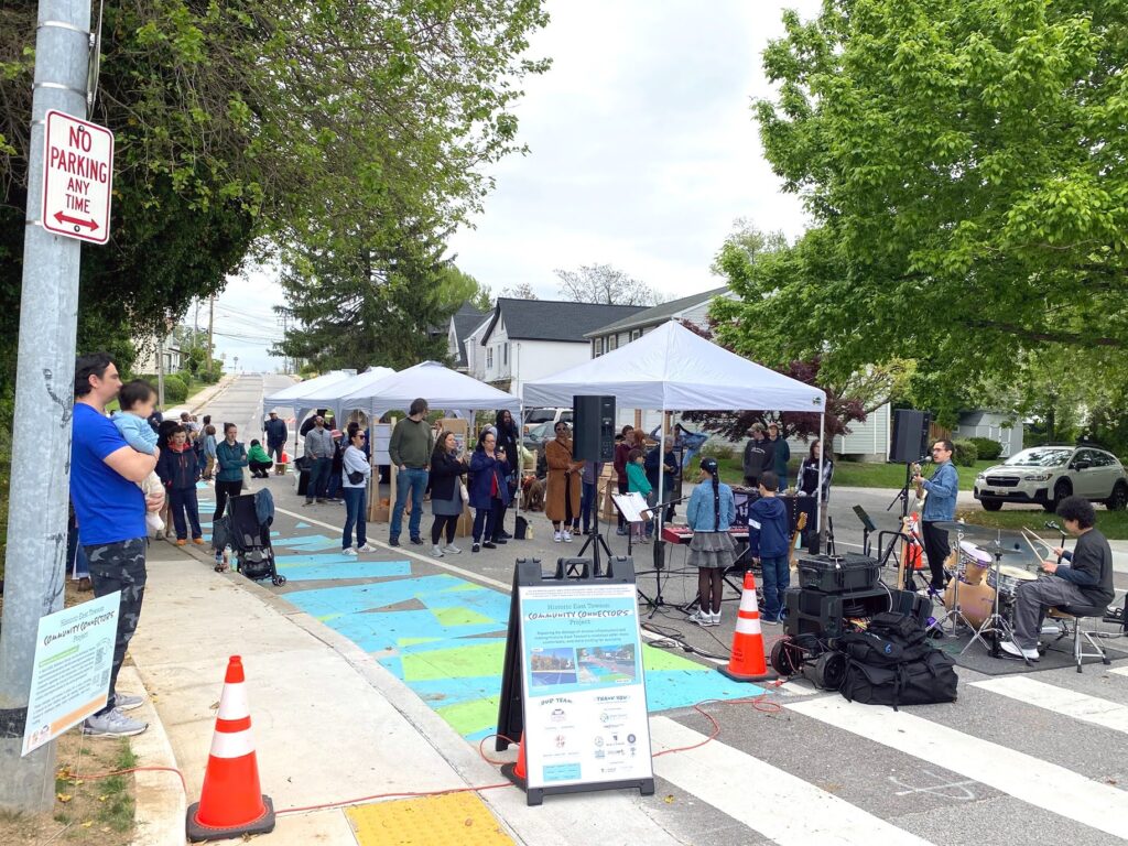
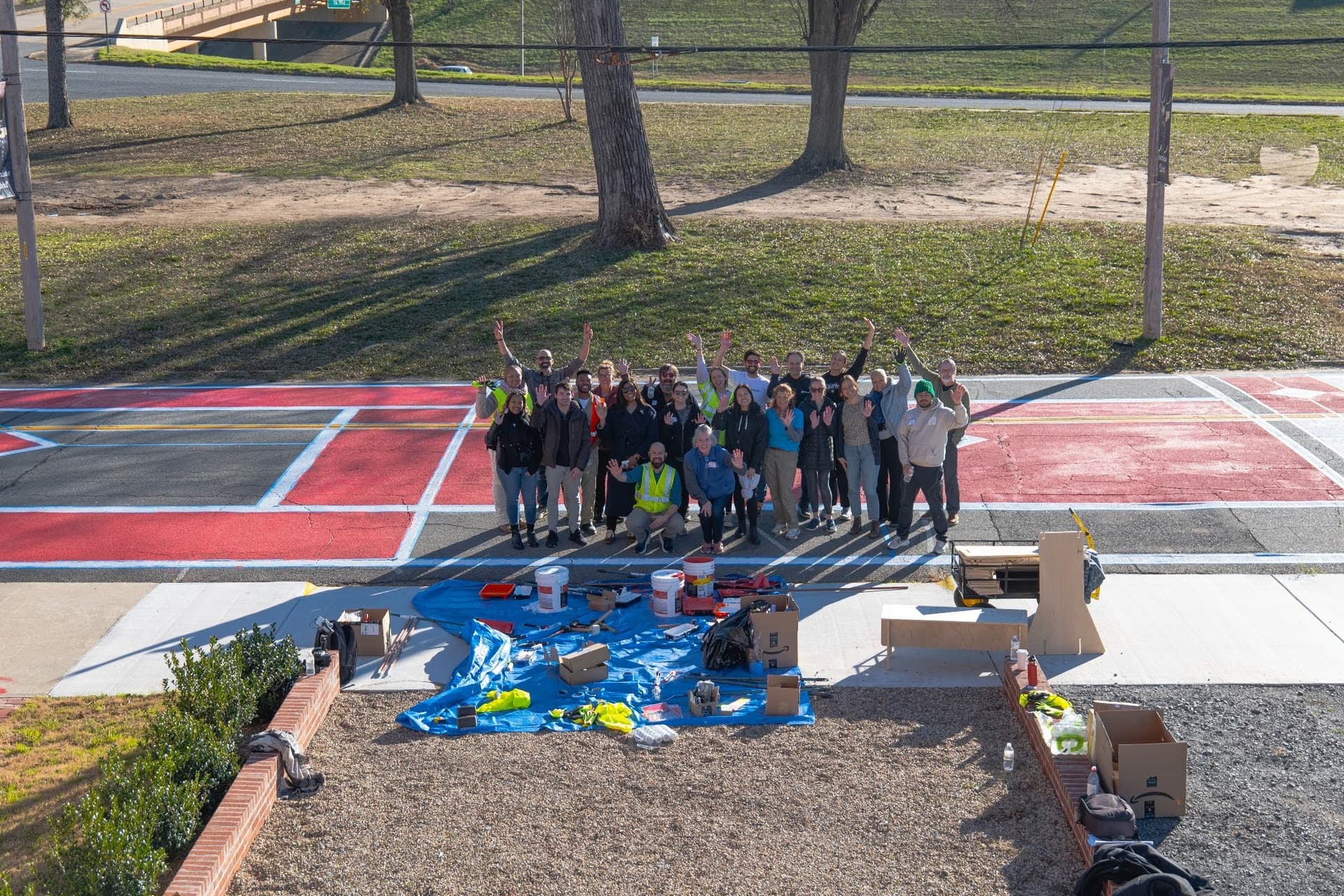
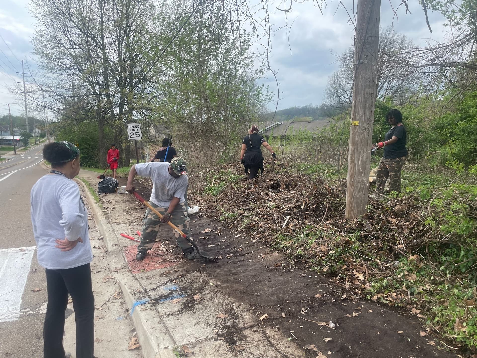
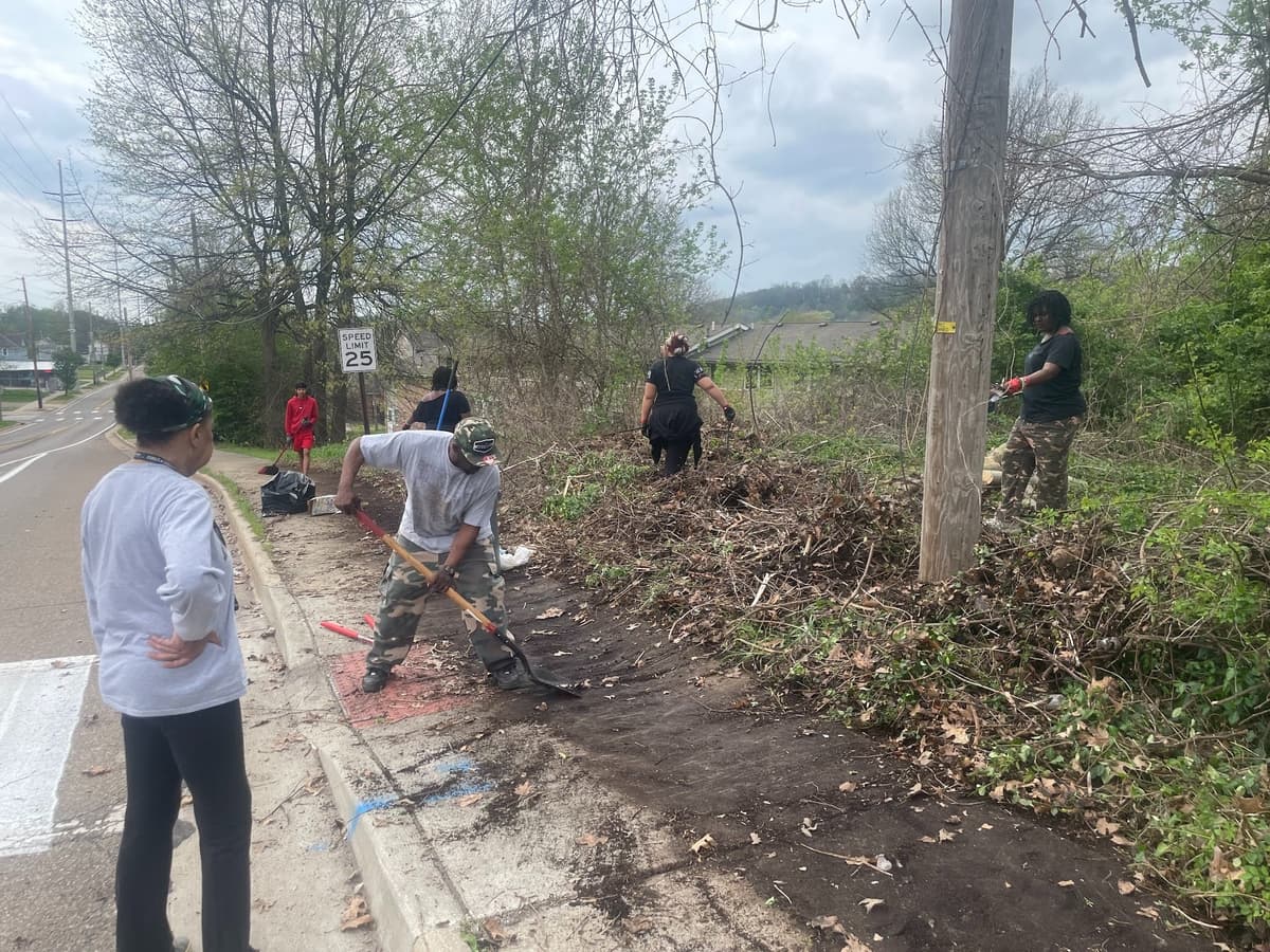
The capstone events for the project were a community build day on April 18, 2026, and a block party launch event a week later. The build day lasted about eight hours, with 36 official volunteers and many more neighbors stopping by spontaneously to lend a hand. Volunteers painted asphalt art, built Wikiblock furniture, and cleaned up the adjacent green space. One neighbor who saw the work unfolding brought his young son and electric power tools to help clean up the green space, and the local councilmember made multiple trips to haul away the cleared yard waste, which more than doubled the size of the corner green space. The team clearing the vegetation found a speed limit sign that had been knocked over and concrete and metal remnants of the Ma and Pa Railroad.
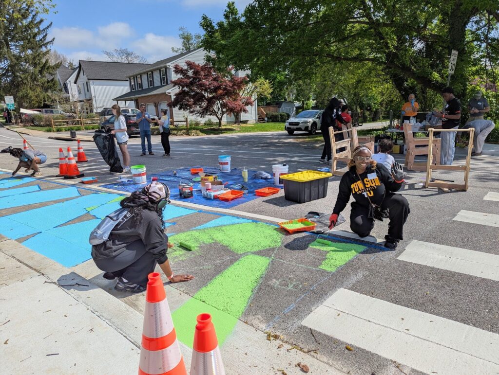
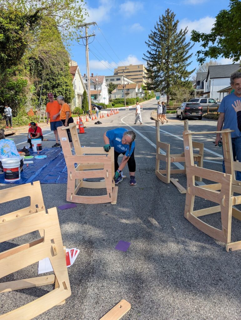
Photos courtesy of Debbie Harner.
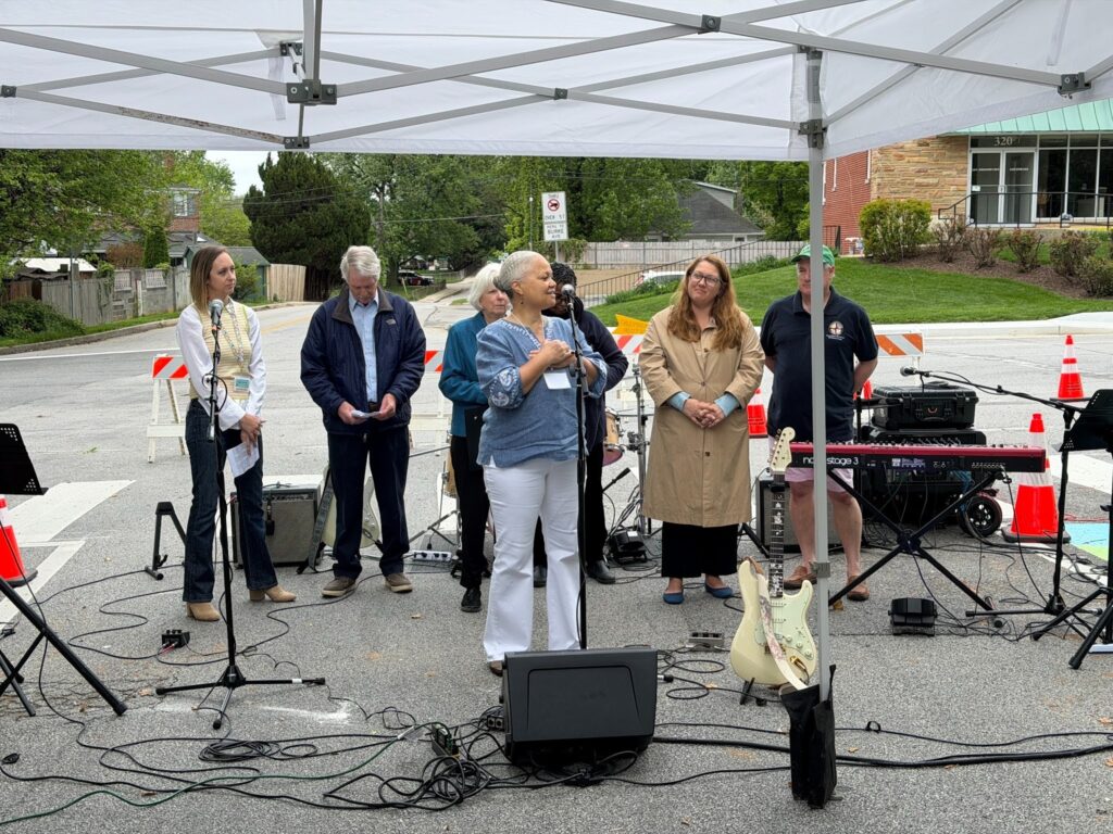
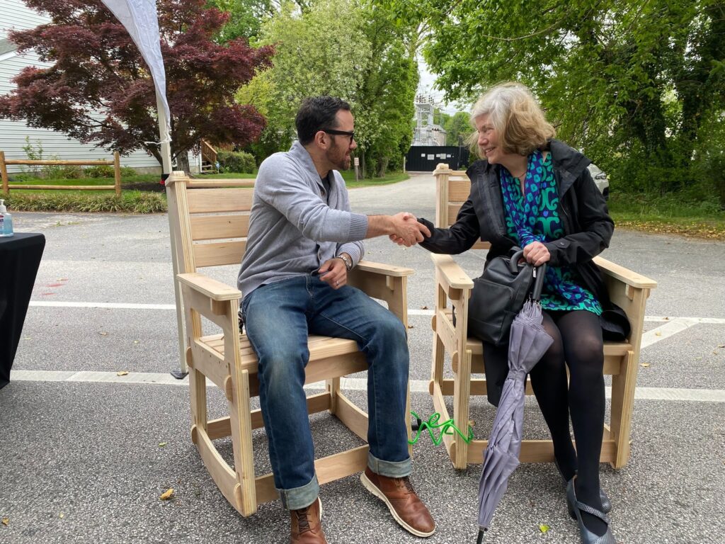
The block party the following week drew over 75 attendees to take part in a communal breaking bread ceremony, enjoy performances by young musicians from a nearby music school, and play games and activities throughout the afternoon. With a state senator and delegate also in attendance, there was a lot of talk of potentially bringing efforts like this to other districts in the state!
Challenges
Since this was Baltimore County’s first quick-build project, growing pains showed up at various points in the project development and implementation process. There was some initial hesitation from county staff about the benefits of a temporary project, such as that maintenance might outweigh the benefits of the new design, which led to certain elements of the project being permanently installed.
While the demonstration project was hoping to first test tighter turning movements at the intersection, which could have informed the permanent curb design, the County’s swift install of new curbs at a conventional radius prevented the exploration of alternative solutions in the interim. The team still included temporary materials for reducing the turn radius, but with the recent investment in this new curb, it will be a long time before a different design is implemented permanently.
There were also challenges identifying materials the County was comfortable using. Adding greenery to the project site would have made the new public space more comfortable and welcoming, but key decisionmakers in the County did not want planters so close to a travel lane. Other materials, still, were not currently approved for purchase in the County, making creative new solutions unattainable. Ultimately, the team found a type of flex post and temporary curb that had been used elsewhere in Baltimore County, so rather than trying new materials, the team found and used familiar materials on a temporary basis.
Budget:
Community Connectors grant:
$5,000 to NeTIA for time
$20,000 to Baltimore County
$15,000 for traffic calming materials
$2,500 for build materials
$1,000 for food at build and launch events
$400 for additional launch event activities
$200 for outreach and signage
Additional support:
Funds from Baltimore County Capital Improvements for permanent installations
In-kind contributions from the Department of Planning for participatory engagement supplies and materials
Build day and launch event volunteers and donations from Baltimore Hackerspace, Wiltondale Garden Club, The Music Space, Paris Baguette, Plaza Art, Towson University, Goucher College, Whole Foods, and neighborhood residents
New skills and practices for community improvement
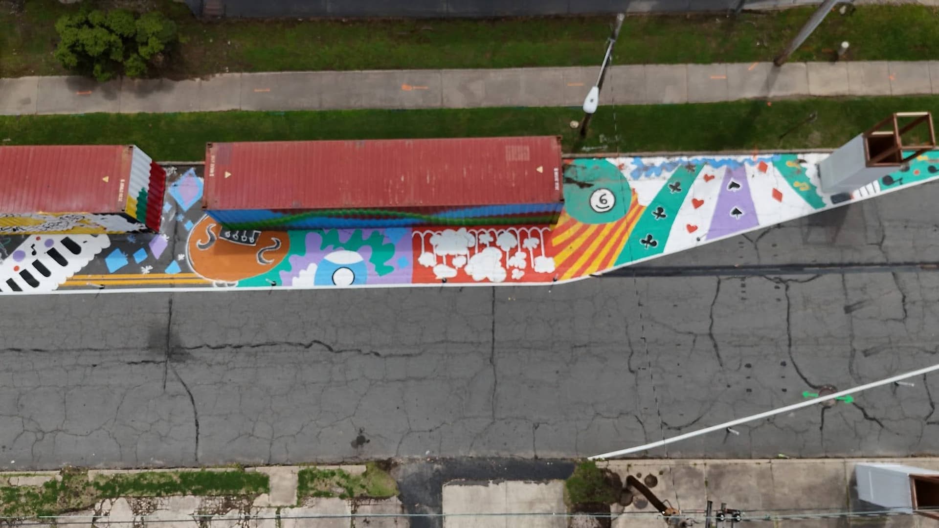
The quick-build project will be in place for at least one year, giving the team plenty of time to collect quality survey data, traffic counts, and other feedback from regular use and activation events. The traffic-calming measures are already working, with neighbors reporting slower vehicles. The successful installation of Baltimore County’s first asphalt art through the new policy bodes well for future artistic projects.
“When I got to the intersection and a car actually stopped so that I could cross–that had never happened there. That intersection has existed since I was 16 years old, and I’m 62. Never would you see a car slow down so you could cross. To see somebody actually stop and allow me to cross the road demonstrated the miracle of the work that we were doing.”
– Nancy Goldring, NeTIA
The project team was surprised by how many people volunteered and stopped by to support the build day and block party. People who had lived in the neighborhood their entire lives got to know neighbors they’d never met, and the new green space is on its way to becoming a well-loved gathering spot. Since then, there have already been discussions about potential county grant opportunities to secure funding and further improve the green space. Meanwhile, the Road to Freedom Trail work continues.
|
Timeline | |
|
November 2025 |
Walk audits |
|
Preliminary concept development | |
|
December 2025 |
NeTIA community meeting and holiday party |
|
January – February 2026 |
Sneckdown observation Finalize design |
|
March 2026 |
Logistics planning NeTIA community meeting Pop-up office hours |
|
April 2026 |
Community build day Block party launch event |
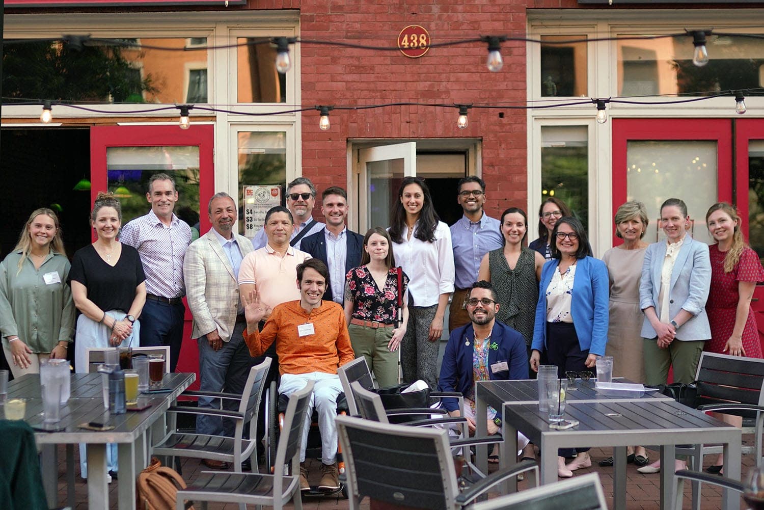
Thank you to the Historic East Towson team for your dedication to your community and your insights throughout this process: Nancy Goldring, NeTIA; Megan Oliver, Jessie Bialek, Steve Lafferty, Deborah Price, and Katherine Yi, Baltimore County; Debbie Harner, Bea Hardy, and Andrea Marsh, Goucher College; and Mallory Zink and Arriyan Peagler, NPS Rivers Trails and Conservation Assistance Program; and Rochelle Williams.
Related News



Livable places. Healthy people. Shared prosperity.


© 2026 Smart Growth America. All rights reserved
Site By3Lane Marketing
