


News
By Joseph Mendonca, May 19, 2026
In Columbus, Ohio and Chesterfield County, Virginia, IMPACT Community Action and Partnership for Smarter Growth are using mapping and visual storytelling tools to help communities better understand how zoning decisions shape health, housing, and transportation outcomes. Through ZEST, these organizations developed new tools to support more informed community engagement and advocacy.
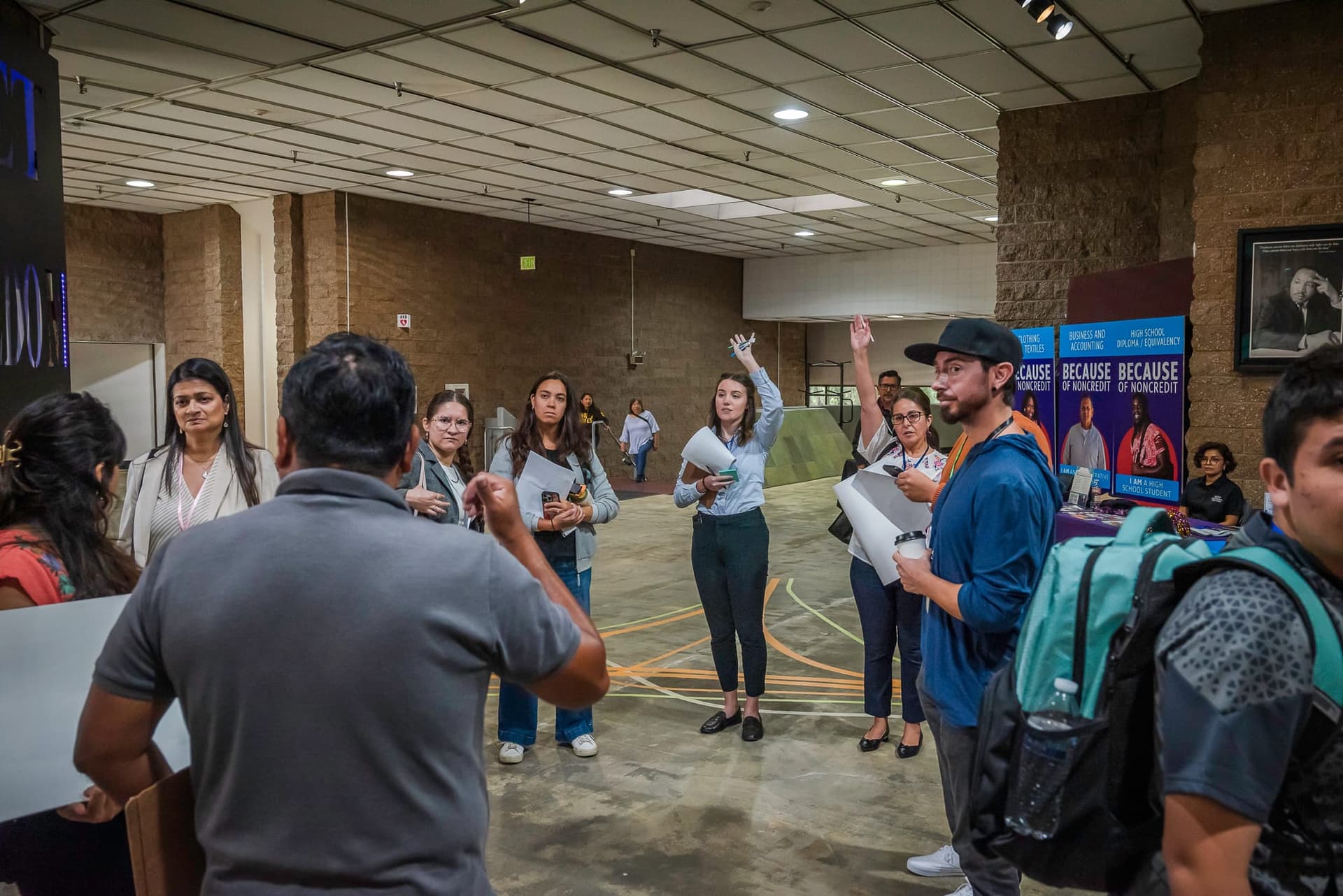
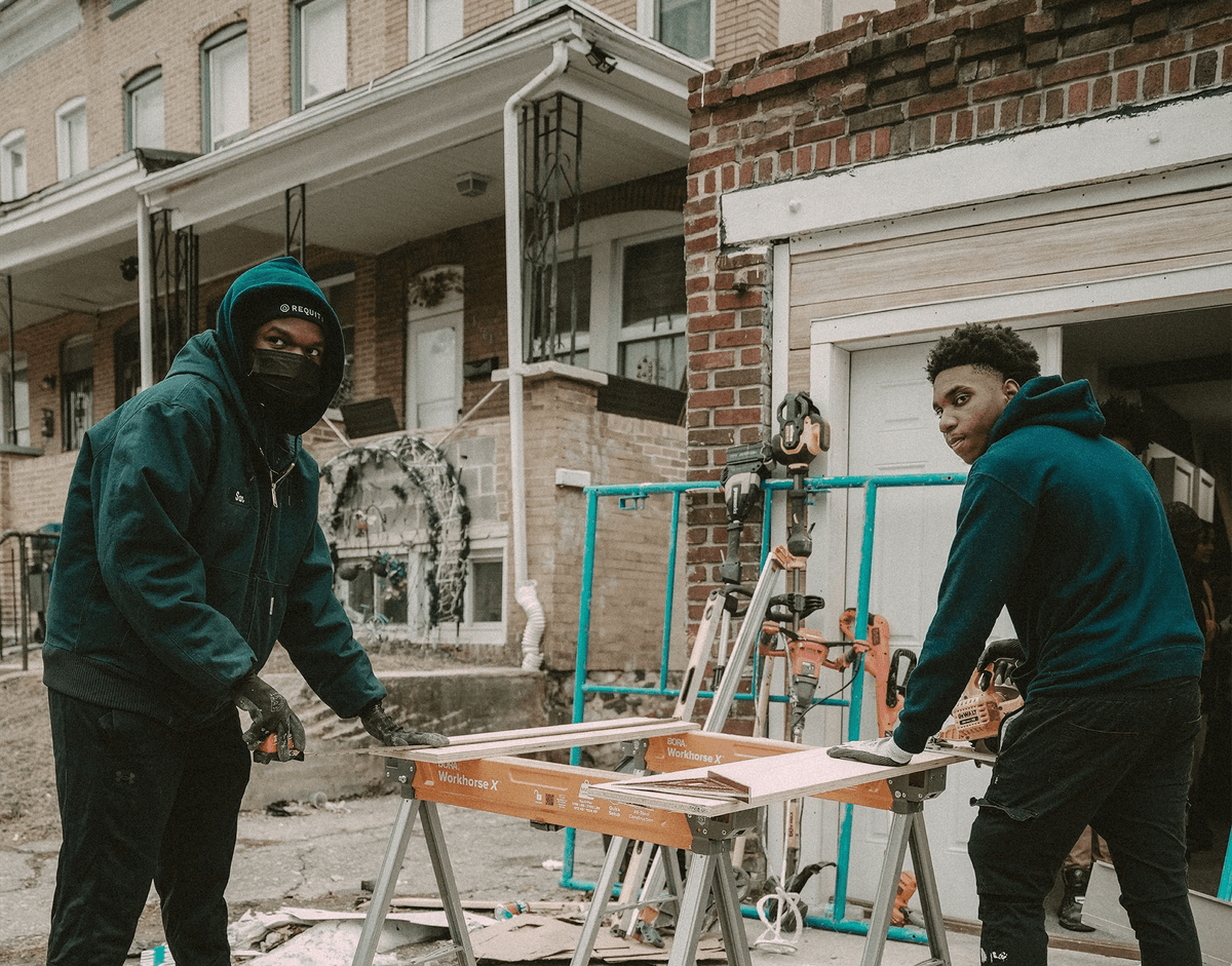
Throughout the fall and winter of 2025, Smart Growth America’s Center for Zoning Solutions supported 19 community-based organizations (CBOs) across the country through the Zoning for Equitable Solutions and Thriving Communities (ZEST) program. Together, they strengthened each organization’s ability to connect land use and health outcomes, identify zoning barriers, and translate complex policies into practical, community-driven strategies.
Zoning is a powerful driver of health outcomes, shaping nearly every aspect of daily life—from housing and transportation to environmental exposure and access to opportunity—in both visible and invisible ways. Over six months, Smart Growth America delivered tailored technical assistance spanning policy analysis, data analysis, ArcGIS StoryMaps, and education and advocacy tools, building participants’ capacity to turn complex zoning systems into actionable strategies for creating healthier communities.
A key takeaway from this work was the power of storytelling as an essential tool for translating complex issues into relatable, actionable narratives. This blog series builds on those lessons, highlighting real-world examples, tools, and insights to support others navigating zoning challenges and advancing reform in their own communities.
Introducing our partners
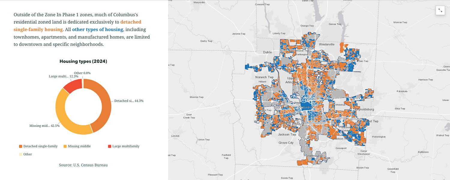
In central Ohio, IMPACT Community Action provides education and training to empower residents, cultivating advocates and local leaders who work toward creating more equitable communities. As Columbus underwent a comprehensive zoning code update through its Zone In Columbus initiative, IMPACT saw an opportunity to engage more community members by communicating the proposed zoning changes and their implications for environmental justice, housing affordability, and health outcomes.
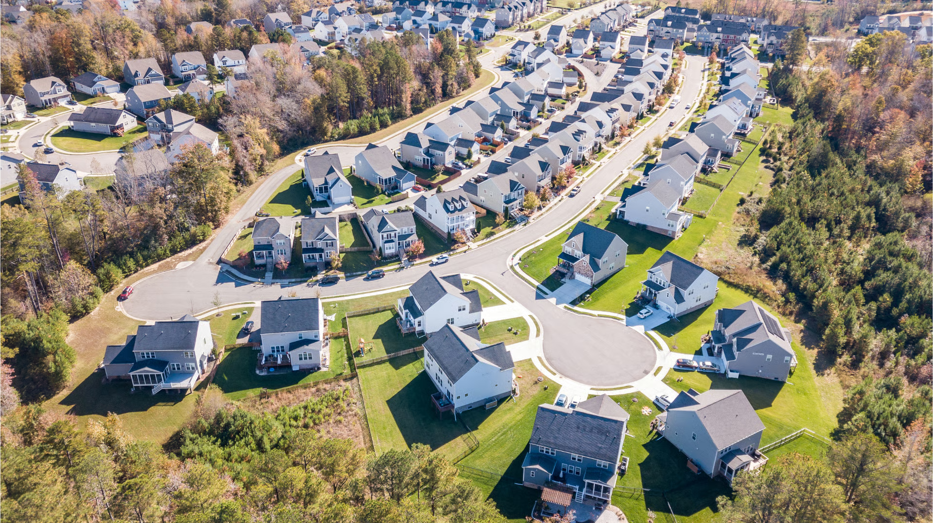
Similarly, in Chesterfield County, VA—just outside of Richmond—the Zoning Ordinance Modernization (ZOMod) project is reshaping the county’s zoning code and creating new opportunities for public engagement in decision-making. Partnership for Smarter Growth (PSG) is a local organization working to advance smart growth by promoting infill development and multimodal transportation options.
Through ZEST, SGA developed an ArcGIS StoryMap that compares health equity indicators across the county—such as pedestrian fatalities, access to grocery stores, and physical activity levels—and overlays them with key zoning factors, including where multifamily housing development is permitted. Designed as an educational and advocacy tool, the StoryMap will help community members, planning staff, and elected officials better understand how zoning decisions shape health outcomes as they engage with the ZOMod project.
“Many neighborhoods lack access to grocery stores with fresh produce, forcing residents to rely on convenience stores and fast food.” - Katie Devlin, Director of Climate Justice Initiatives, IMPACT Community Action
Support from SGA
For both communities, SGA created unique StoryMaps to help translate zoning changes into clear, community-relevant insights. This work examined demographic trends, built-environment conditions, public health indicators, and existing and proposed zoning codes to determine the overlap between existing health inequities and the existing zoning framework.
In Columbus, we worked with IMPACT to map key indicators, including food access, environmental burdens (air pollution, asthma rates, tree canopy, and air temperature differences), and housing costs and availability. We overlaid this analysis with recent rezonings completed under the first phase of Zone In, LinkUS transit corridors slated for pedestrian, cycling, and transit infrastructure improvements, and broader residential and industrial zoning patterns. We brought these elements together in an interactive StoryMap to visualize the intersections between zoning, the built environment, and health disparities.
For Chesterfield County, SGA conducted a similar analysis, mapping job centers, vehicle ownership, pedestrian safety, and food access alongside housing trends and changes to residential zoning under the ZOMod initiative. These findings were compiled into another StoryMap.
“High-injury road networks are concentrated in areas with high poverty rates—communities that are often predominantly Black and Brown. While this may appear to be a transportation issue, it is fundamentally rooted in zoning.” - Finn Pollard, Coordinator for Strategy & Outreach, Partnership for Smarter Growth
Connecting zoning to community health
Both IMPACT Community Action and the Partnership for Smarter Growth prioritize strengthening community participation in zoning reform because they recognize the importance of residents having a direct role in shaping the built environment.
In producing these StoryMaps, ZEST equipped both organizations with visual storytelling and educational tools to galvanize more informed and inclusive civic participation. When communities like Columbus and Chesterfield County can more clearly see how zoning shapes their daily lives, people are better positioned to participate in local decision-making and advocate for healthier, more equitable outcomes.
Related News


Livable places. Healthy people. Shared prosperity.


© 2026 Smart Growth America. All rights reserved
Site By3Lane Marketing
